Attractions
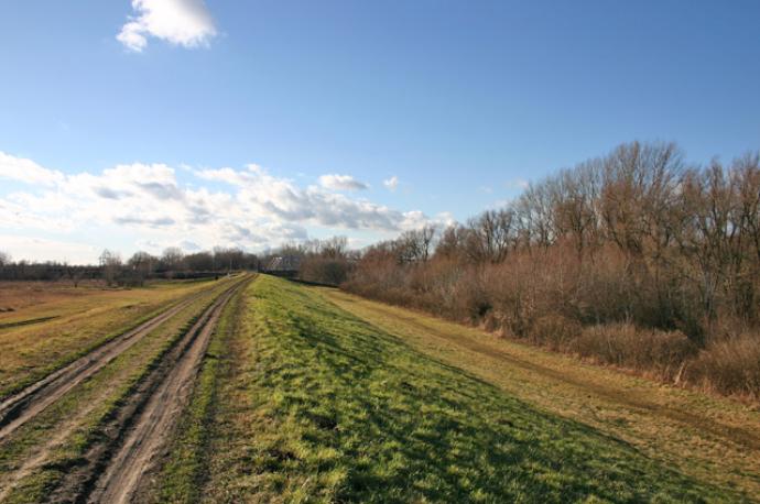
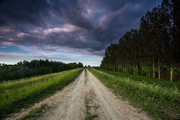
Gyomaendrőd lies on the left (south) bank of the Hármas- (Triple-) Körös River. This stretch of the river is the most beautiful waterside landscape of the region. It’s about 100 meters wide and the water is 6 meters deep on the average. It is a region rich in fish and wild animals. The Békés County stretch of the Hármas-Körös floodplain area, which covers more than 2,000 hectares is part of the Körös-Maros National Park.
Nyitvatartás
Can be viewed all year round.
Kapcsolat
Address
5500 Gyomaendrőd, Külterület nemzeti park
Térkép
Updated date:
Content ID: 99
Related pages
- Landscapes of Gyomaendrőd - Photo Galleries
- One Week Water Tours on the Körös River - Touring Routes
- Weekend Water Tours on the Körös River - Touring Routes
- One Day Water Tours on the Körös River - Touring Routes
- Körös River - Basic page


